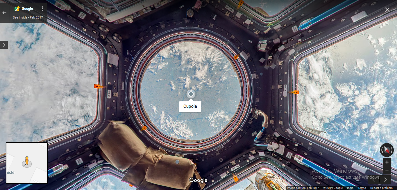
Explore the ISS Through Google Maps
Published on 12 Jan 2019 ⸱ 1 min read ⸱ 35 views
I'm always fascinated by space exploration and advances in space technologies. Every once in a way, I like being reminded how far we've come with such technologies. It's easy to forget that everything around us is a result of constant improvement over several decades. Google Maps has released a cool application of their Street View feature to explore the International Space Station from the comforts of our browser. There's tons of information (both text and visual) explaining the different sections of ISS. What you can even notice is how the ISS was built modularly over time. I'm in awe when I saw the sections of the ISS. I'm like a starry eyed child when I see such things. Click the image below to explore the ISS.
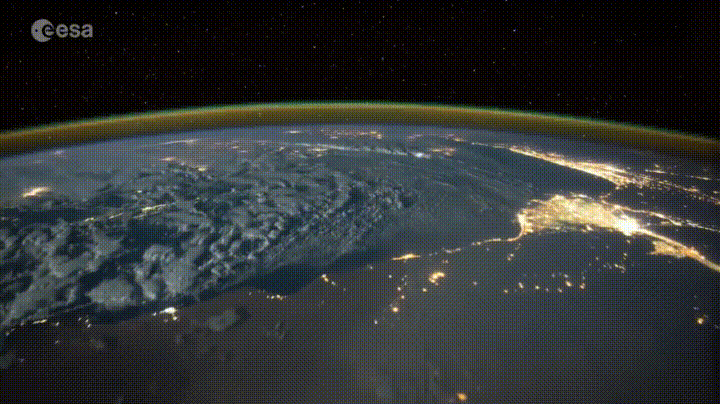
Bonus: Here's a link to a live stream of the Earth from the ISS.
Onward.
Note: All blogs posts till 2022 were migrated to this platform (react+next+tailwind). While all efforts were made to migrate wihtout any loss, the migration lost some images and broke a bunch of links in old posts. If you spot anything amiss, please notify me?